Coverage shaped to the vehicle
Sensor position and angle follow real vehicle dimensions, blind zones and turning paths.
TECHNOLOGY 01 / SITUATIONAL AWARENESS
The goal is not simply to see four sides, but to maintain a continuous risk map around the vehicle—showing where an object is, how it is moving and which zone demands attention.
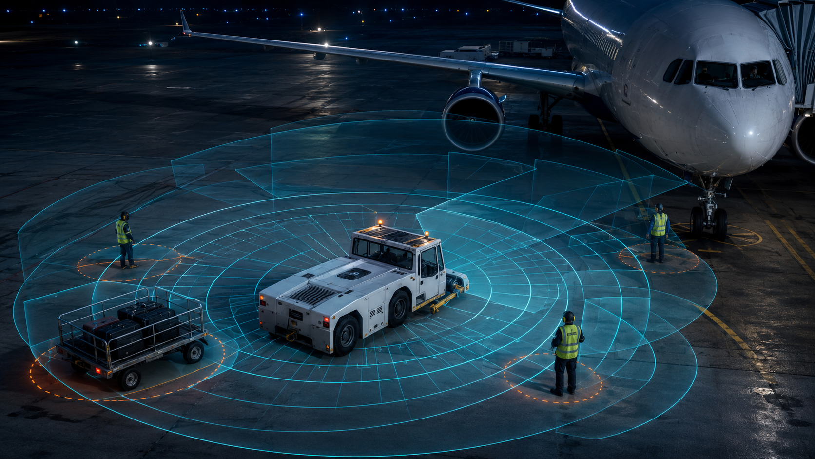
NORTHAR uses overlapping sensing zones around the vehicle, fuses radar and ultrasonic data, and translates it into directional alerts. Final coverage is engineered after reviewing vehicle geometry, obstacles, speed and operating conditions.
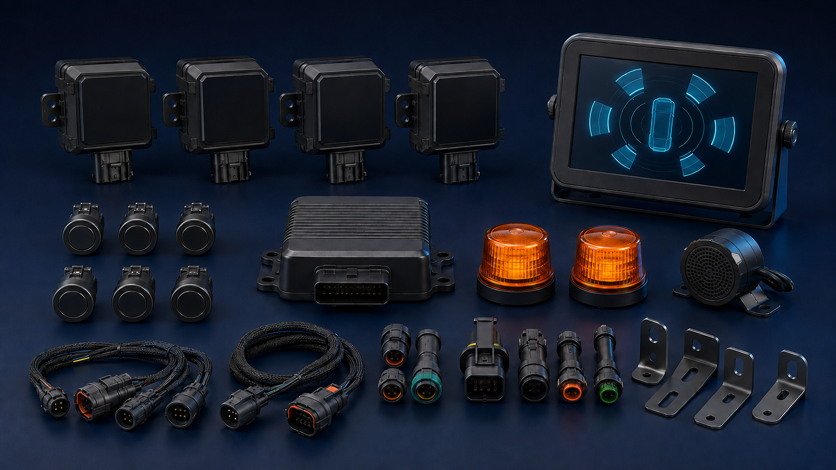
REFERENCE HARDWARE KIT
The kit is configured around the vehicle, voltage, warning zones and available interfaces. The image represents an OEM-neutral design; the final model and appearance may change after manufacturer selection.
DESIGN PRINCIPLES
Presented at architecture level; the final commercial configuration depends on the vehicle survey and safety requirements.
Sensor position and angle follow real vehicle dimensions, blind zones and turning paths.
Multiple signals are correlated to reduce duplicates and prioritize objects with a risky trajectory.
The HMI identifies front, rear, left or right risk zones and proximity levels.
Intuitive visual evidence and computer-vision potential.
Sensitive to light, dust, water and operator screen attention.
Can be added as a visual confirmation layer rather than the sole detector.
Strong range and relative-velocity sensing in darkness and adverse weather.
Requires careful treatment of ground reflections, static objects and field of view.
Primary detection layer combined with zone logic and close-range sensing.
Detailed point cloud and strong geometric resolution.
Higher cost and optical protection or cleaning demands in harsh environments.
Optional for advanced automation requiring detailed spatial models.
Effective at very short range with accessible cost.
Short range and sensitivity to surface angle, wind and absorptive materials.
Fills near-body zones where other sensors may be less effective.
UPGRADEABLE ARCHITECTURE
The roadmap is managed by hardware, software and per-vehicle configuration versions.
Modular blind-zone configuration with directional alerts and vehicle-specific calibration.
Add visual evidence by alert zone for training and incident analysis.
Increase spatial resolution for automated vehicles and dense environments.
Aggregate events, hotspots and trends to improve operating routes.
TECHNICAL REFERENCES
Share the vehicle model, dimensions, speed and blind zones. NORTHAR will propose a configuration and validation plan.
Talk to an engineer →